


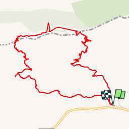


15.8 km | 28 km-effort


User


FREE GPS app for hiking
 SityTrail
IGN / Geographical institutes
SityTrail World
The world is yours!
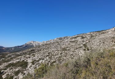
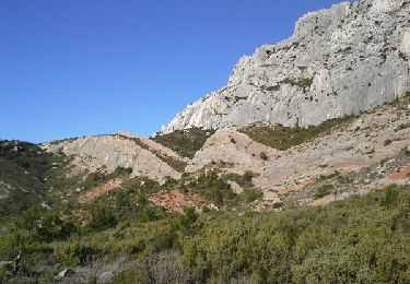
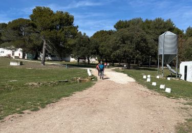
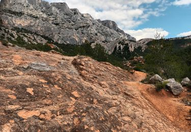
Trail Walking of 8.2 km to be discovered at Provence-Alpes-Côte d'Azur, Bouches-du-Rhône, Puyloubier. This trail is proposed by phidge.
P3 T3 Chaines - Vertigineux
Sens: Col de St Ser puis Col Vauvenargues


Walking

Walking
Walking

Walking

Walking

Walking
Walking
Walking
Walking