Trail Walking Saint-Antonin-sur-Bayon - pas du clapier et tracé vert - Photo
 amiral13
amiral13

User GUIDE

© OpenStreetMap contributors
Length
Length
10.5 km
Max alt
Max alt
973 m
Uphill gradient
Uphill gradient
781 m
Km-Effort
Km-Effort  
21 km
Min alt
Min alt
437 m
Downhill gradient
Downhill gradient
781 m
Boucle
Boucle
Yes
Creation date :
2019-03-03 09:59:15.367
Updated on :
2019-03-03 19:26:31.971

(0 Reviews)

Walking
Walking
5h24
Difficulty : Difficult

Scan this QR Code to open this trail in the SityTrail application

FREE GPS app for hiking

Logo SityTrail SityTrail
IGN / Geographical institutes

Download SityTrail from the App Store Download SityTrail from Google Play

Logo SityTrail SityTrail World

The world is yours!

Download SityTrail from the App Store Download SityTrail from Google Play Download SityTrail on Huawei AppGallery

About

Trail Walking of 10.5 km to be discovered at Provence-Alpes-Côte d'Azur, Bouches-du-Rhône, Saint-Antonin-sur-Bayon. This trail is proposed by amiral13.

Description

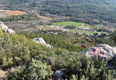
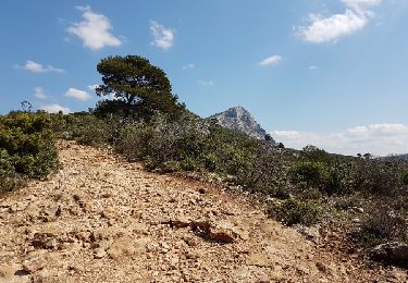
Du parking au pas du clapier aucune difficulté, sauf le pas précité qui reste accessible à presque tout le monde.
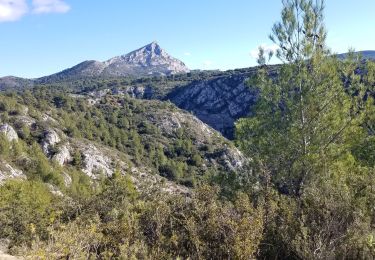
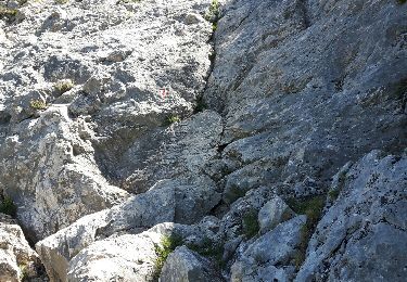
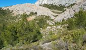
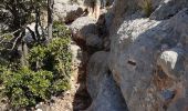
On quitte ensuite le tracé marron pour emprunter le vert et celui-ci présente de temps à autre de petites difficultés parfois exposées; De plus l'itinéraire, bien que balisé reste compliqué et nécessite toute l'attention de ceux qui l'empruntent. A réserver aux randonneurs aguerris et habitués au vide.
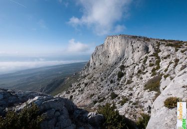
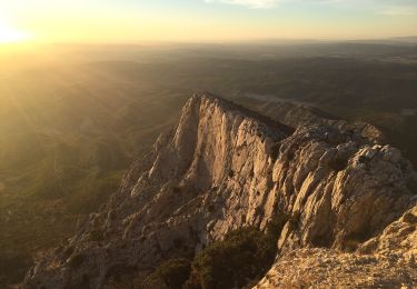
Le sentier de crête bien que facile, n'est pas toujours des plus agréable car la multitude des passages de randonneurs a fortement patiné la roche qui est souvent très glissante.
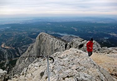
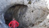
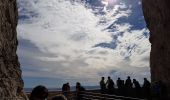
Après avoir fait un arrêt à la grotte des hirondelles, exutoire du tracé noir, puis à la croix de Provence et enfin au prieuré, suivre le tracé bleu jusqu'au pas de l'escalette à partir duquel on suivra le tracé rouge jusqu'au refuge Cézanne.
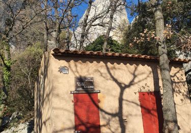
A partir de là le tracé marron vous amènera jusqu'à l'oppidum, duquel il suffira de vous laisser descendre jusqu'au parking.

Elevation profile

Photos

Positioning

Country:
France
Region :
Provence-Alpes-Côte d'Azur
Department/Province :
Bouches-du-Rhône
Municipality :
Saint-Antonin-sur-Bayon
Location:
Unknown
Start:(UTM)
709217 ; 4821889 (31T) N.

Trails nearby

Trail Walking Saint-Antonin-sur-Bayon - Ste Victoire - Le Garagaï - Photo
Walking
ETMU5496

Walking

Difficult
(1)
Saint-Antonin-sur-Bayon, Provence-Alpes-Côte d'Azur, Bouches-du-Rhône, France
15.8 km | 28 km-effort
4h 36min
Yes
Trail Walking Saint-Marc-Jaumegarde - Barrages Zola-Bimont - Photo
Walking
Berpav

Walking

Medium
(2)
Saint-Marc-Jaumegarde, Provence-Alpes-Côte d'Azur, Bouches-du-Rhône, France
8 km | 11 km-effort
2h 30min
Yes
Trail Walking Vauvenargues - Le Signal, Montagne Sainte-Victoire - Photo
Walking
tracegps

Walking

Medium
(2)
Vauvenargues, Provence-Alpes-Côte d'Azur, Bouches-du-Rhône, France
15 km | 25 km-effort
6h 19min
Yes
Trail Walking Saint-Marc-Jaumegarde - La Croix de Provence depuis le barrage de Bimont - Photo
Walking
tracegps

Walking

Difficult
(1)
Saint-Marc-Jaumegarde, Provence-Alpes-Côte d'Azur, Bouches-du-Rhône, France
13.9 km | 24 km-effort
4h 45min
Yes
Trail Walking Saint-Antonin-sur-Bayon - 2023-02-10 Sainte Victoire Bau des Vespres - Photo
Walking
GUIDE
Kargil

Walking

Difficult
Saint-Antonin-sur-Bayon, Provence-Alpes-Côte d'Azur, Bouches-du-Rhône, France
10 km | 18.8 km-effort
3h 30min
Yes
Trail On foot Vauvenargues - Sentier des Venturiers - Photo
On foot
PRO

On foot

Easy
Vauvenargues, Provence-Alpes-Côte d'Azur, Bouches-du-Rhône, France
5 km | 10.5 km-effort
2h 23min
No
Trail On foot Beaurecueil - Sentier Imoucha - Photo
On foot
PRO

On foot

Easy
Beaurecueil, Provence-Alpes-Côte d'Azur, Bouches-du-Rhône, France
4.4 km | 10.1 km-effort
2h 17min
No
Trail Walking Saint-Antonin-sur-Bayon - Sainte Victoire - Bau Cézanne - tracé jaune - Photo
Walking
GUIDE
amiral13

Walking

Difficult
(1)
Saint-Antonin-sur-Bayon, Provence-Alpes-Côte d'Azur, Bouches-du-Rhône, France
5.3 km | 12.2 km-effort
2h 28min
Yes
Trail Walking Saint-Antonin-sur-Bayon - Sommet Croix de Provence - Barrage du Bimont - Photo
Walking
GUIDE
lhomme.ph

Walking

Medium
Saint-Antonin-sur-Bayon, Provence-Alpes-Côte d'Azur, Bouches-du-Rhône, France
14.2 km | 25 km-effort
5h 3min
Yes


Close
My subscriptions