


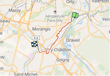

14.8 km | 17 km-effort


User


FREE GPS app for hiking
 SityTrail
IGN / Geographical institutes
SityTrail World
The world is yours!
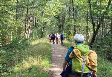
Trail Walking of 10.7 km to be discovered at Ile-de-France, Essonne, Athis-Mons. This trail is proposed by dmatignon.
En remontant l'Orge, de gare à gare, de son confluent avec la Seine jusqu'à Egly, en 3 étapes.


Walking

Walking

Walking
Walking

On foot
Mountain bike
Walking
Walking
Walking