


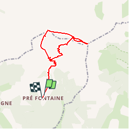


8.5 km | 15.9 km-effort

Les Hautes Alpes à découvrir ! GUIDE+


FREE GPS app for hiking
 SityTrail
IGN / Geographical institutes
SityTrail World
The world is yours!
Trail Walking of 13.8 km to be discovered at Provence-Alpes-Côte d'Azur, Hautes-Alpes, Montmaur. This trail is proposed by Camping Les Rives du Lac.
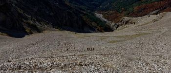
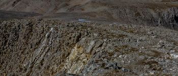
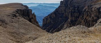
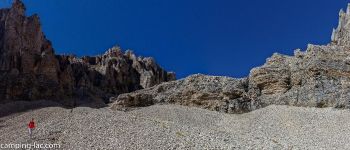
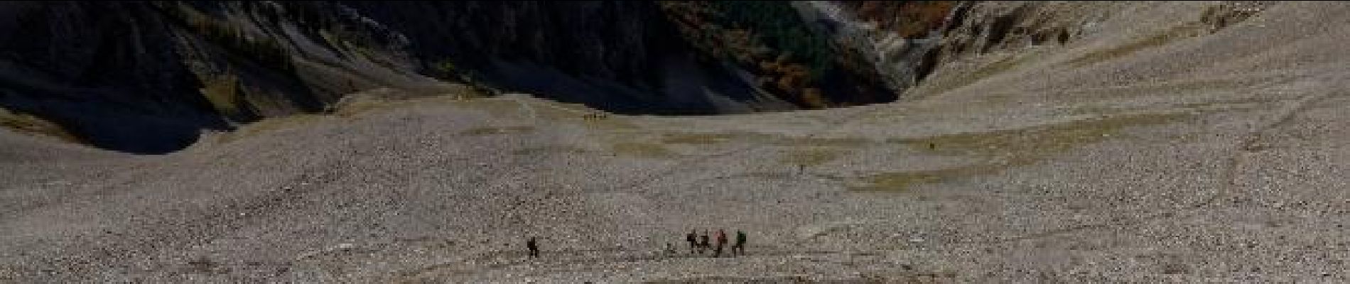
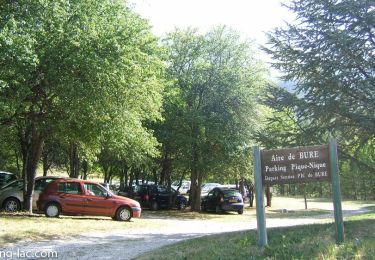
The mythical hike of the region. Very long but not involving technical difficulty. The plateau of Bure, lunar, is impressive. The descent through the valley of May will be relaxing for those who like to practice collecting. Be careful, you are in high mountains and so it is important to plan clothes accordingly and to observe the evolution of the weather


Walking
Mountain bike

Mountain bike

Mountain bike

Mountain bike

Mountain bike
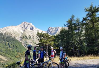
Mountain bike
Walking
Walking