


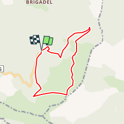


25 km | 41 km-effort

Les Hautes Alpes à découvrir ! GUIDE+


FREE GPS app for hiking
 SityTrail
IGN / Geographical institutes
SityTrail World
The world is yours!
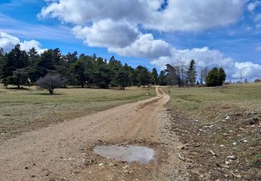
Trail Walking of 6.9 km to be discovered at Auvergne-Rhône-Alpes, Drôme, Valdrôme. This trail is proposed by Camping Les Rives du Lac.
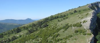
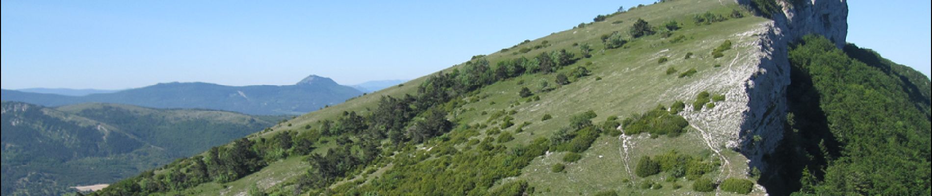
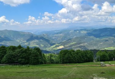
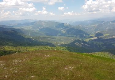
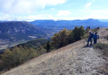
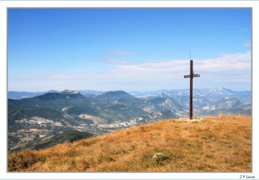
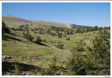
"From the Valdrome station, you will be very quickly on the ridges of the Duffre which offer a magnificent panorama Hiking can be cut short, allowing very quickly to access point of view You should see marmots on the slopes.
The resort Valdrome offers many activities in summer: Devalkart, tree climbing for children, zip line, archery in the forest. We recommend that you plan the day, with the possibility to combine activities and hiking.
To reach Valdrome from Veynes, the road passing by the Col de Cabre is less winding than that passing by the Carabes pass. The journey time is the same. "


Mountain bike

Mountain bike
Walking
Walking
Walking
Walking

Walking
Walking
Walking