


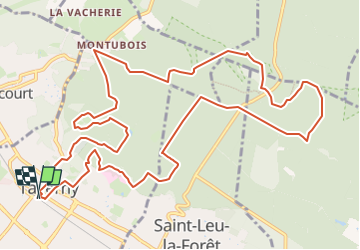

16 km | 20 km-effort


User


FREE GPS app for hiking
 SityTrail
IGN / Geographical institutes
SityTrail World
The world is yours!
Trail Walking of 14.1 km to be discovered at Ile-de-France, Val-d'Oise, Taverny. This trail is proposed by jpcccb.
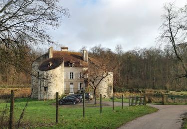
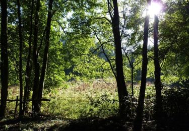
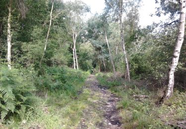
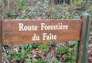
Forêt de Montmorency, carrefour des 6 routes, carrefour de la porte Paradis,le Camp de César, Étang Godard, le Pont du Diable.
Walking
Mountain bike
Walking

Equestrian

Mountain bike

Walking

Walking
Walking

Walking