


10 km | 14.1 km-effort


User


FREE GPS app for hiking
 SityTrail
IGN / Geographical institutes
SityTrail World
The world is yours!
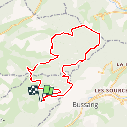
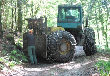
Trail Walking of 17.7 km to be discovered at Grand Est, Vosges, Fresse-sur-Moselle. This trail is proposed by signorato.
la noire goutte,tete des revoltés,haut du rouge gazon,colonie de vacances,Laula,
Walking

Snowshoes

Mountain bike

Mountain bike
Walking
On foot

On foot
On foot
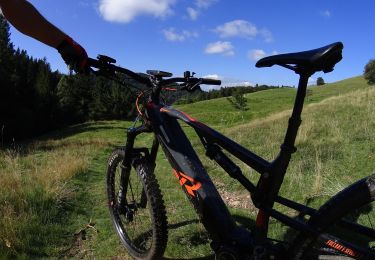
Mountain bike