


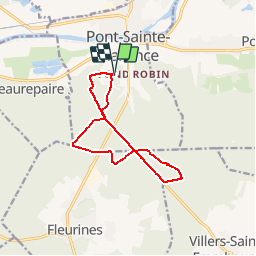


8.4 km | 10.2 km-effort

User


FREE GPS app for hiking
 SityTrail
IGN / Geographical institutes
SityTrail World
The world is yours!
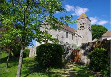
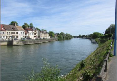
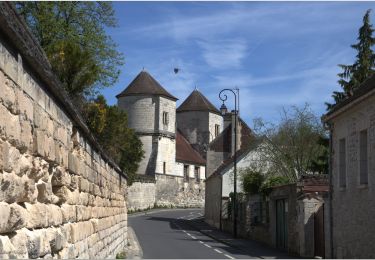
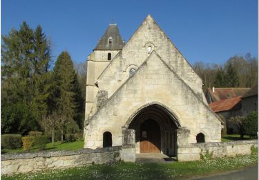
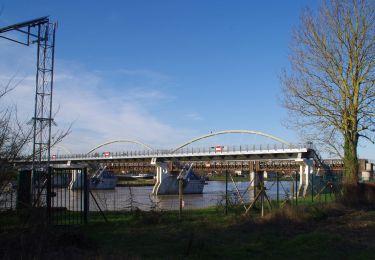
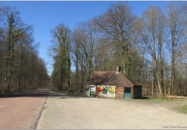
Trail Cycle of 10.4 km to be discovered at Hauts-de-France, Oise, Pont-Sainte-Maxence. This trail is proposed by gilbertdu60.
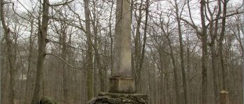
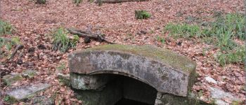
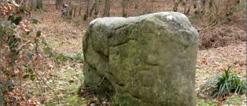
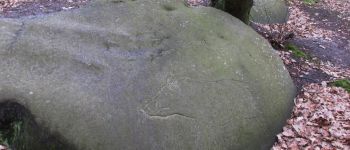
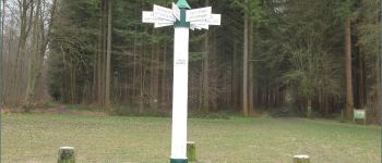
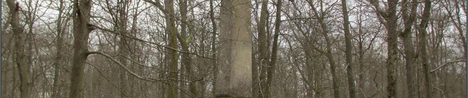
départ piscine des terriers, ( traversée de la RD1017) vers l'obélisque du roi de Rome et la fontaine des Lys, passage par le poteau du grand maitre, vers le chemin du cheval blanc arrêt au dolme de Chancy, vers le rocher au sanglier


Walking

Walking
Walking
Hybrid bike
Bicycle tourism
On foot
Electric bike
Electric bike
Electric bike