


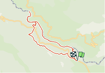


9.3 km | 20 km-effort


User


FREE GPS app for hiking
 SityTrail
IGN / Geographical institutes
SityTrail World
The world is yours!
Trail Walking of 9.4 km to be discovered at Provence-Alpes-Côte d'Azur, Var, Aiguines. This trail is proposed by lviallet.
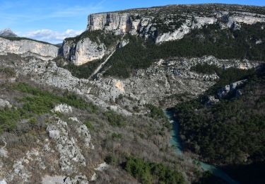
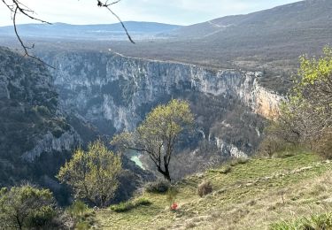
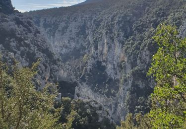
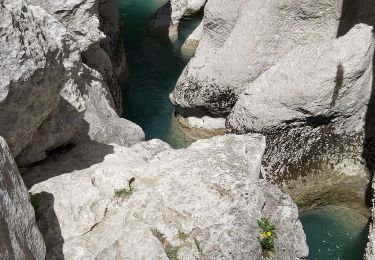
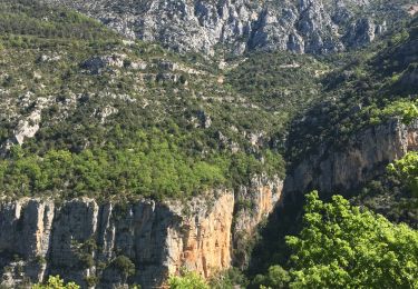
Le Sentier de l'Imbut est l'une des randonnées les plus belles des Gorges du Verdon, mais peut-être aussi la plus technique et la plus difficile. Elle représente un parcours d'environ 6 à 8 kilomètres, avec près de 600 mètres de dénivelé . Cette randonnée durera de 4 à 6 heures.
Faite en mai 2018 et le 25/03/2021

Walking

Walking

Walking
Walking
Walking
Walking
Walking
Walking
Walking