


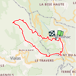

15.3 km | 23 km-effort


FREE GPS app for hiking
 SityTrail
IGN / Geographical institutes
SityTrail World
The world is yours!
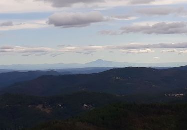
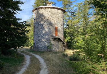
Trail Walking of 15.6 km to be discovered at Occitania, Gard, Génolhac. This trail is proposed by maxime.ranchin@aliceadsl.fr.
Walking
Walking

Walking

Walking

Walking
Walking
Walking

Walking
Walking