


8 km | 9.4 km-effort


User


FREE GPS app for hiking
 SityTrail
IGN / Geographical institutes
SityTrail World
The world is yours!
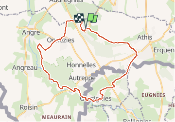
Trail Walking of 16.7 km to be discovered at Wallonia, Hainaut, Honnelles. This trail is proposed by calofrancis.
Magnifique région calme avec halte agréable à Gussignies.
Au choix "chez Mireille" ou au "Baron" ...
__www.marcheursdumardi.be___
Walking
Walking

Nordic walking
Walking
On foot

Walking
Walking

Walking
Walking
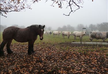
Magnifique !!