


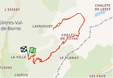


9.7 km | 15.3 km-effort

User GUIDE


FREE GPS app for hiking
 SityTrail
IGN / Geographical institutes
SityTrail World
The world is yours!
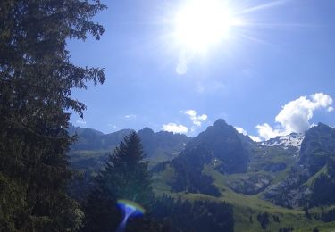
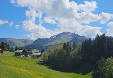
Trail Walking of 15 km to be discovered at Auvergne-Rhône-Alpes, Upper Savoy, Glières-Val-de-Borne. This trail is proposed by Kargil.
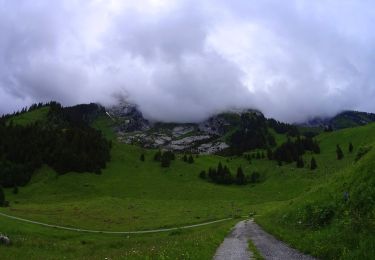
Pas de difficulté en majorité sur la piste 4 x 4 d'accès au chalet de Mayse.
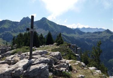
La crête pour de La Palange est plus sauvage avec de besux lappias.
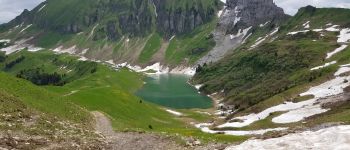
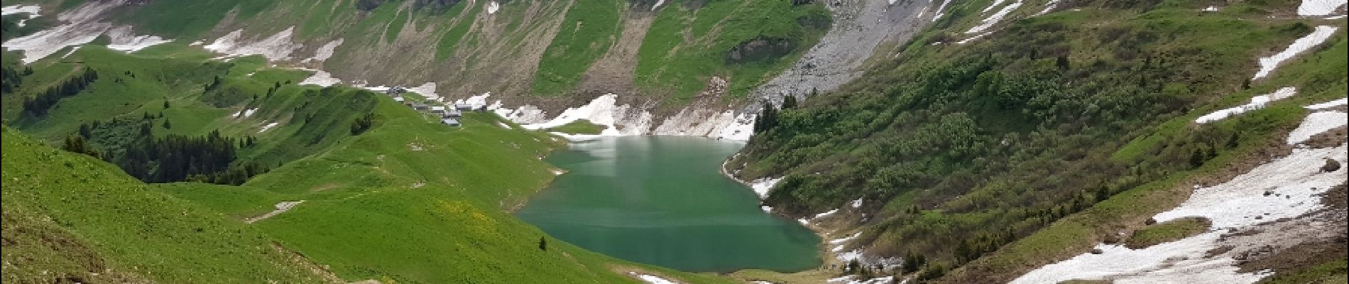
Possibilité d'aller manger au bord du Lac de Lessy pour 100 m de plus de dénivelé.
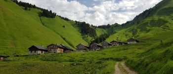
 - Photo 1")
 - Photo 2")
Walking

Walking
Mountain bike
Mountain bike
Mountain bike
Mountain bike

Walking
Walking
Mountain bike