


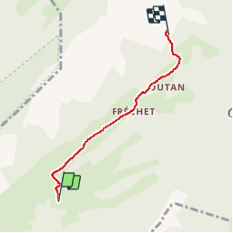


11.8 km | 24 km-effort


User


FREE GPS app for hiking
 SityTrail
IGN / Geographical institutes
SityTrail World
The world is yours!
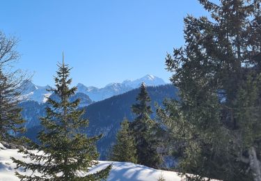
Trail Walking of 3.7 km to be discovered at Auvergne-Rhône-Alpes, Upper Savoy, Glières-Val-de-Borne. This trail is proposed by Jocelyn74.
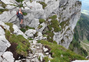
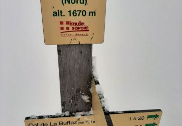
Du restaurant chez régina au refuge de Spé
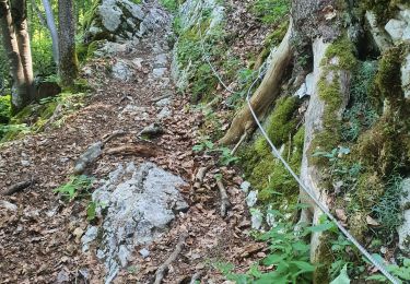
Walking

Walking

Walking
Walking
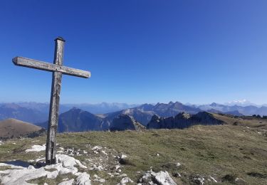
Walking
Walking
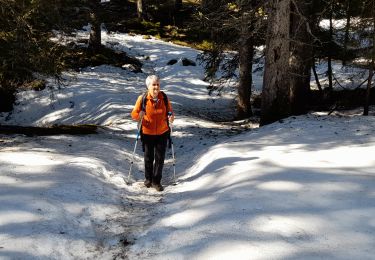
Snowshoes
Walking
Snowshoes