


12 km | 24 km-effort

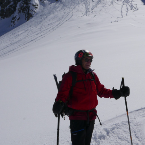
Touring skiing
Touring skiing
Touring skiing
Touring skiing
Touring skiing
Touring skiing

Mountain bike
Mountain bike
Mountain bike
Mountain bike

sport
sport
Touring skiing
sport
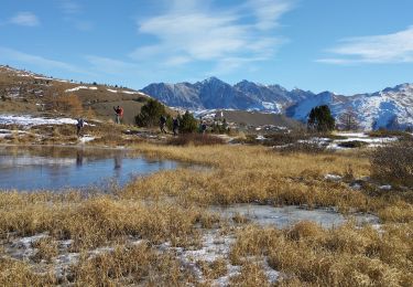
Walking

Walking
Walking
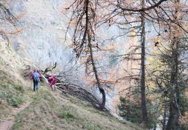
Walking
Horseback riding
Walking
Walking