


11.8 km | 24 km-effort

Touring skiing

Horseback riding
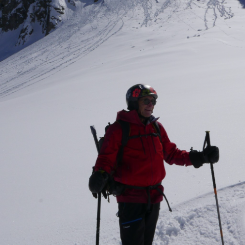
Touring skiing
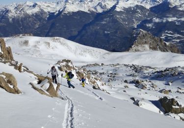
Touring skiing
Touring skiing
Touring skiing

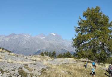
Walking

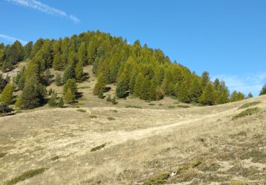
Walking
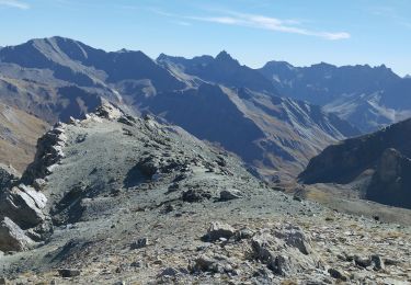
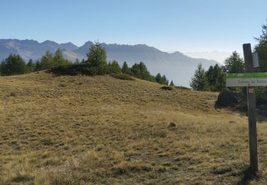
Walking
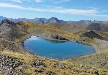
Walking
Walking

Walking
Walking
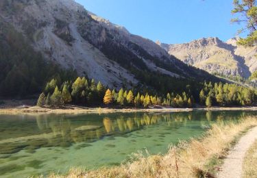
Walking
Walking
Walking
Walking
Walking

Walking
Walking
Walking