


10.7 km | 14.4 km-effort
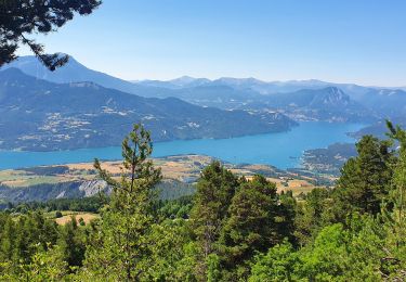
Walking
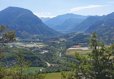
Walking
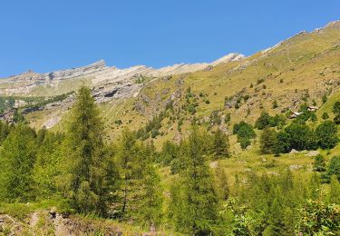
Walking
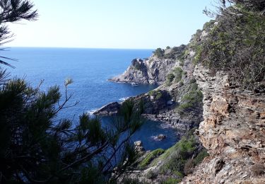
Walking
Walking

Walking
Walking
Walking
Walking
Walking
Walking
Walking
Walking
Walking
Walking
Walking
Walking
Walking
Walking
Walking
Walking