


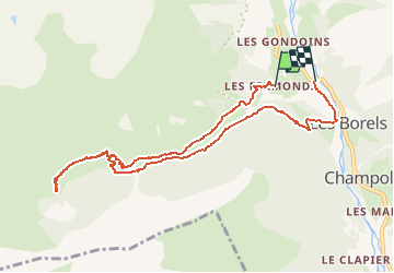

9.5 km | 12.2 km-effort

User GUIDE


FREE GPS app for hiking
 SityTrail
IGN / Geographical institutes
SityTrail World
The world is yours!
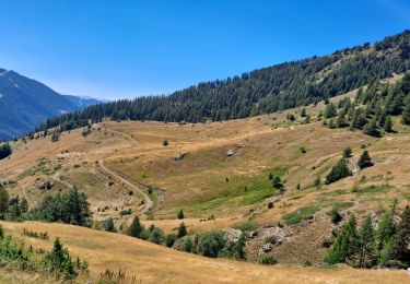
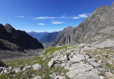
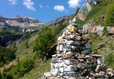
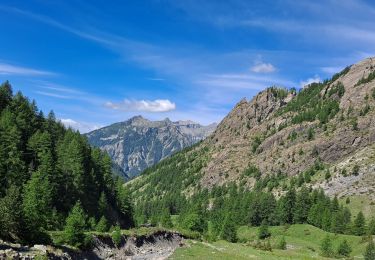
Trail Walking of 9.8 km to be discovered at Provence-Alpes-Côte d'Azur, Hautes-Alpes, Champoléon. This trail is proposed by R@ph.
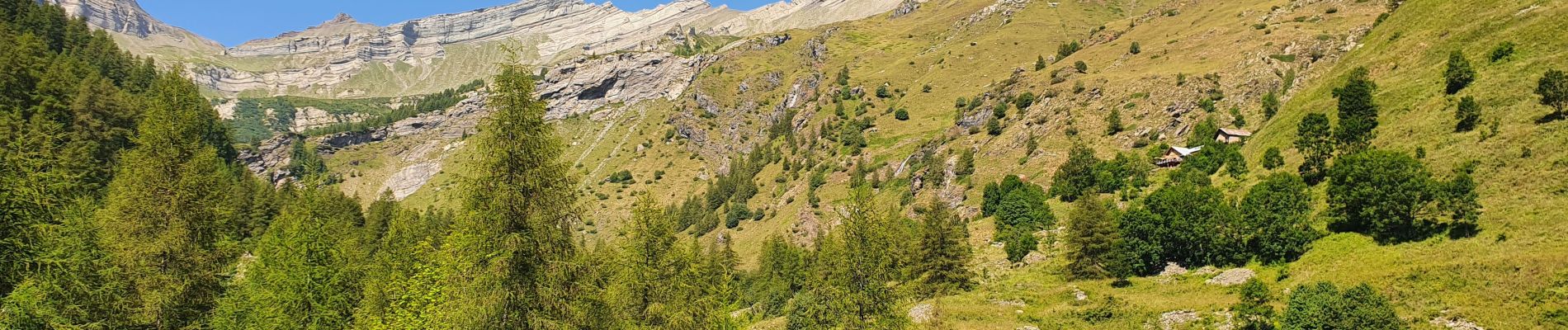
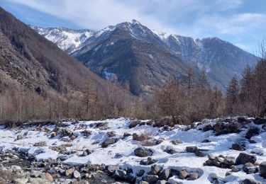
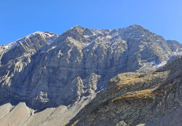
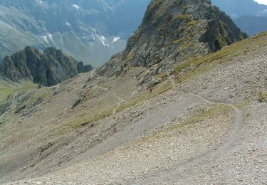
Randonnée vers le refuge du Tourrond au départ des Fermonds, passage à la cascade de La Pisse puis retour par l'autre versant jusqu'au Borels. Aucune difficulté, facilement accessible en famille.


Walking
Walking
Walking
Walking
On foot
Walking
Walking
Walking

Touring skiing