


17.5 km | 27 km-effort

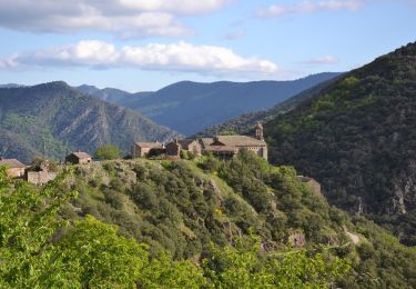
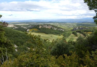
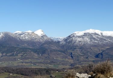
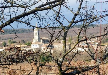
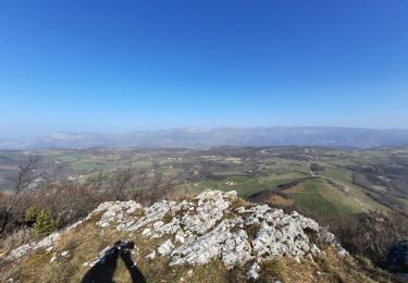
Walking
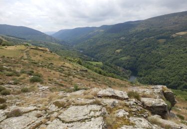
Walking
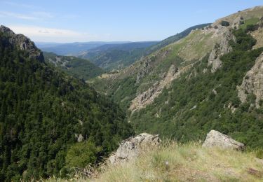
Walking
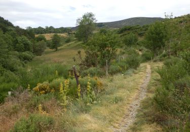
Walking
Walking
Walking
Walking
Walking
Walking
Walking

Walking
Walking
Walking
Walking
Walking
Walking
Walking
Walking
Walking
Walking
Walking