


22 km | 28 km-effort
Hamoir: Descubra las mejores excursiones: 225 a pie, 24 en bici o bici de montaña y 6 recorridos ecuestres. Todos estos circuitos, recorridos, itinerarios y actividades al aire libre están disponibles en nuestras aplicaciones SityTrail para smartphone y tablet.

Senderismo


Senderismo
Senderismo

Senderismo
Senderismo
Senderismo
Senderismo
Senderismo
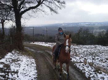
Caballo
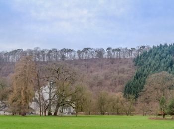
• terrain tres vallonné
A pie
• Trail created by Office du Tourisme de Hamoir.
A pie
• Trail created by Office du Tourisme de Hamoir.
A pie
• Trail created by Office du Tourisme de Hamoir.
A pie
• Trail created by Office du Tourisme de Hamoir.
A pie
• Trail created by Office du Tourisme de Hamoir.
A pie
Senderismo

Senderismo

Senderismo
Senderismo
• Parcours aise, sauf une très forte montée au début.
Senderismo
20 excursiones mostradas en 269
Aplicación GPS de excursión GRATIS
 SityTrail
IGN / Institutos geográficos
SityTrail World
El mundo es suyo