


7,3 km | 11 km-effort
Tarn: Descubra las mejores excursiones: 1.732 a pie, 365 en bici o bici de montaña y 17 recorridos ecuestres. Todos estos circuitos, recorridos, itinerarios y actividades al aire libre están disponibles en nuestras aplicaciones SityTrail para smartphone y tablet.
A pie


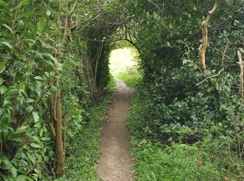
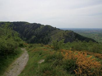
• Randonnée pédestre aux Cammazes dans le Tarn pour une boucle dans la forêt de l\'Aiguille.

Senderismo
Senderismo
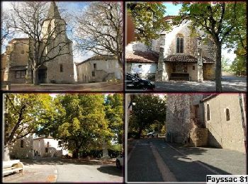
• En pays dadou
Senderismo
Senderismo
Senderismo
Senderismo
Marcha nórdica
Senderismo
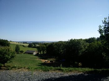
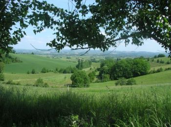
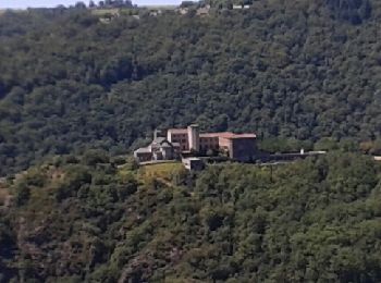
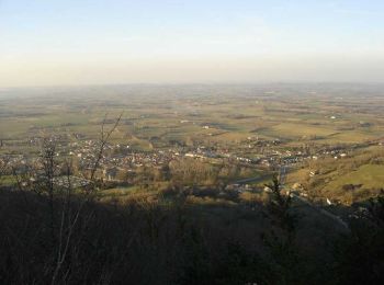
• Jolie randonnée avec des vues inhabituelle sur le prieuré et le village lors du retour. belles vues sur la vallée du...
Senderismo
Senderismo
Bici de montaña
Carrera

Senderismo

A pie

A pie
• Symbol: yellow bar

A pie
• Symbol: yellow bar
A pie
• Symbol: yellow bar

Bici eléctrica
Senderismo
20 excursiones mostradas en 2248
Aplicación GPS de excursión GRATIS
 SityTrail
IGN / Institutos geográficos
SityTrail World
El mundo es suyo