


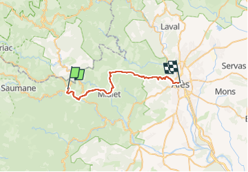

17,7 km | 26 km-effort


Utilisateur GUIDE


Application GPS de randonnée GRATUITE
 SityTrail
IGN / Instituts géographiques
SityTrail World
Le monde est à vous
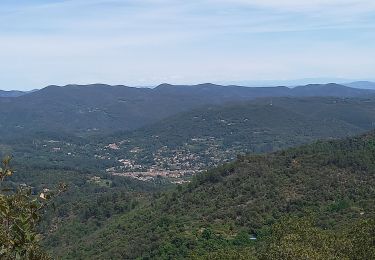
Randonnée Marche de 29 km à découvrir à Occitanie, Gard, Saint-Jean-du-Gard. Cette randonnée est proposée par Kargil.
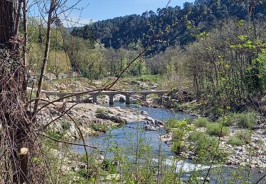
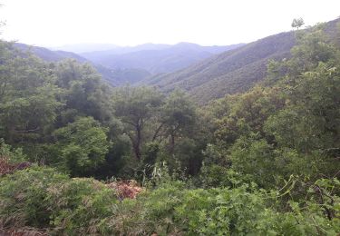
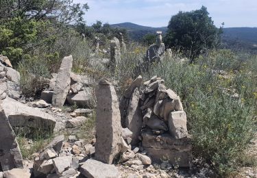
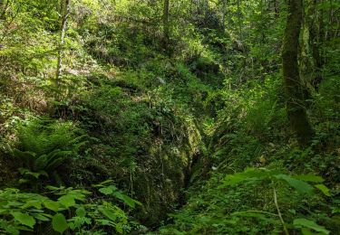
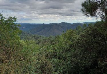
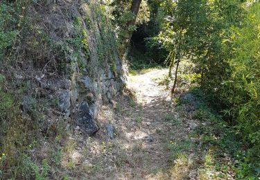
Ne pas écouter ce qui ce dit, c'est une très belle étape sportive, de belles belles vues, quelques brefs passages alpins mais dans l'ensemble de très beaux sentiers.
Attention, minimum 2 litres d'eau et il faut gérer !
Il fait chaud mais le sentiers est en majorité sous les buis donc c'est supportable....en Septembre.
Marche

Marche
Marche
Marche
Marche
Marche
Marche
Marche