


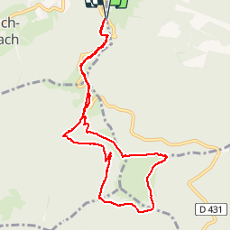

3,6 km | 5,2 km-effort

Utilisateur


Application GPS de randonnée GRATUITE
 SityTrail
IGN / Instituts géographiques
SityTrail World
Le monde est à vous
Randonnée Marche de 9,6 km à découvrir à Grand Est, Haut-Rhin, Soultz-Haut-Rhin. Cette randonnée est proposée par helmut68.
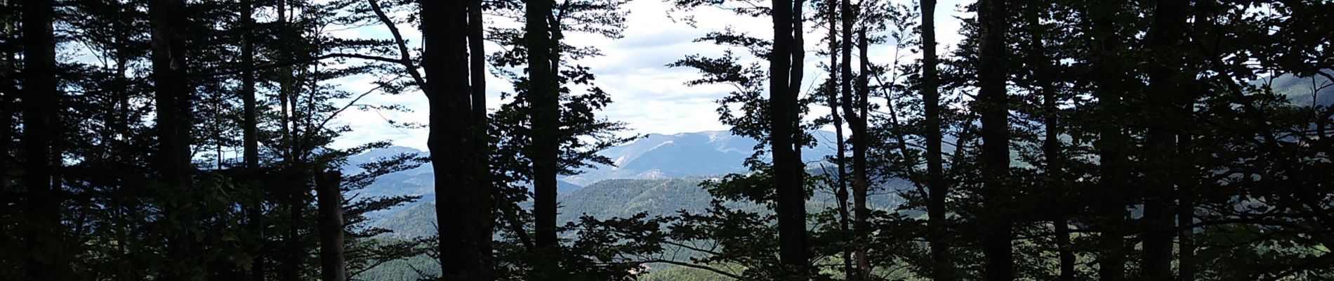
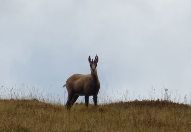
Belle randonnée qui permet de voir le Thannerhubel,le Rossberg,l'auberge du Gsang,du Belaker et le grand Ballon
Une fois au Molkenrein vous avez un panorama sur la plaine d'Alsace.
Tout le long des vestiges de la grande guerre sont encore présents...


Marche

Marche

A pied

Trail

A pied

Marche

Marche
Marche
Marche