


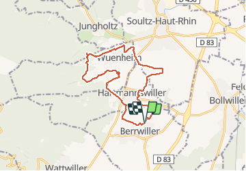


15,4 km | 26 km-effort

Utilisateur


Application GPS de randonnée GRATUITE
 SityTrail
IGN / Instituts géographiques
SityTrail World
Le monde est à vous
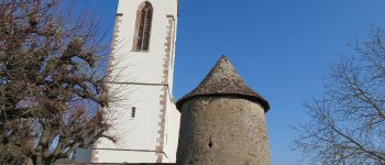
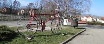
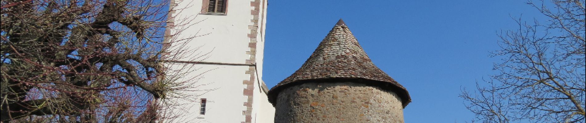
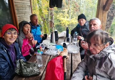
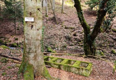
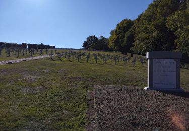
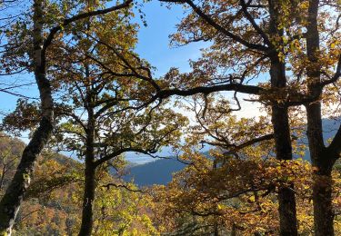
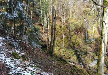
Randonnée Marche de 14,9 km à découvrir à Grand Est, Haut-Rhin, Berrwiller. Cette randonnée est proposée par Papamoju.


Marche

Marche
Marche
Marche
Marche
Vélo de route

Marche
V.T.T.
Marche