


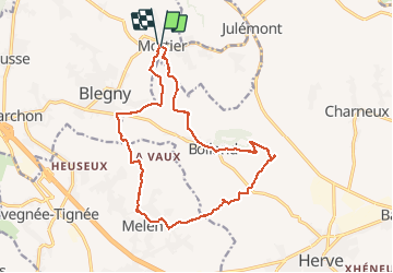

10,9 km | 12,6 km-effort

Utilisateur GUIDE


Application GPS de randonnée GRATUITE
 SityTrail
IGN / Instituts géographiques
SityTrail World
Le monde est à vous
Randonnée Marche de 15,6 km à découvrir à Wallonie, Liège, Blegny. Cette randonnée est proposée par mumu.larandonneuse.
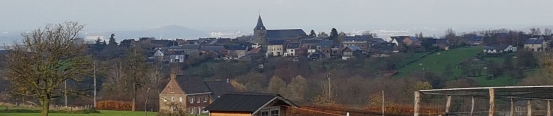
Superbe parcours campagnard au Pays de Herve avec une multitude de panoramas.
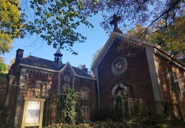
📍 Église de Mortier.
➡️📄 www.wandelgidszuidlimburg.com/routes-es-francais n° 322.


Marche

Marche
Marche

Marche

Marche

Marche
Marche

Marche

Marche
magnifique peu de route. super panorama !!!
Très diversifié.