


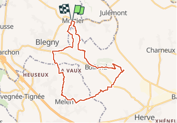

10.9 km | 12.6 km-effort

User GUIDE


FREE GPS app for hiking
 SityTrail
IGN / Geographical institutes
SityTrail World
The world is yours!
Trail Walking of 15.6 km to be discovered at Wallonia, Liège, Blegny. This trail is proposed by mumu.larandonneuse.
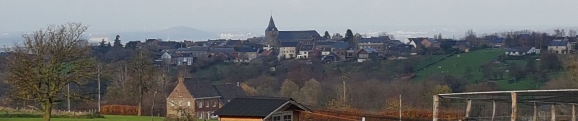
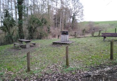
Superbe parcours campagnard au Pays de Herve avec une multitude de panoramas.
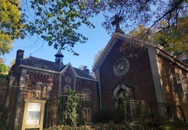
📍 Église de Mortier.
➡️📄 www.wandelgidszuidlimburg.com/routes-es-francais n° 322.


Walking

Walking
Walking

Walking

Walking

Walking
Walking

Walking

Walking
magnifique peu de route. super panorama !!!
Très diversifié.