


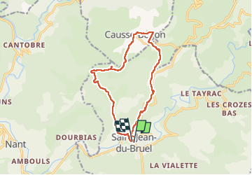


15.3 km | 23 km-effort


User


FREE GPS app for hiking
 SityTrail
IGN / Geographical institutes
SityTrail World
The world is yours!
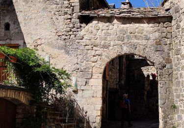
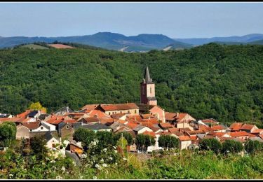
Trail Walking of 13.9 km to be discovered at Occitania, Aveyron, Saint-Jean-du-Bruel. This trail is proposed by Georgesferrier.
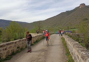
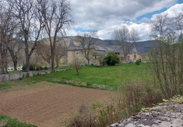
Très belle rando de magnifiques paysages très jolis sentiers bien balises


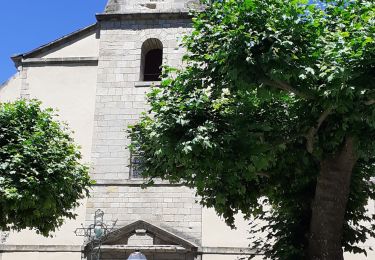
35 photos in total. Please click on a photo to see them all in the gallery.
Walking
Walking
Walking
Walking

Walking

Running

Walking
Walking
Cycle