


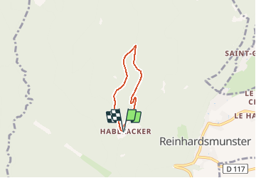


21 km | 32 km-effort

Utilisateur


Application GPS de randonnée GRATUITE
 SityTrail
IGN / Instituts géographiques
SityTrail World
Le monde est à vous
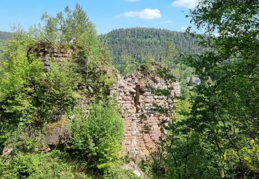
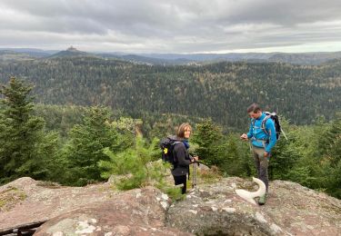
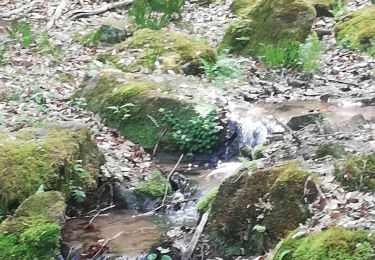
Randonnée Marche de 3,7 km à découvrir à Grand Est, Bas-Rhin, Reinhardsmunster. Cette randonnée est proposée par saltfred67000.
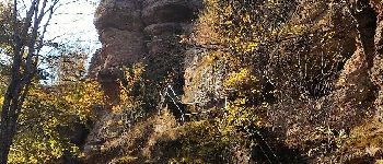
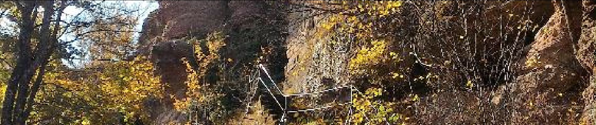
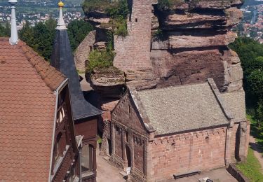
Ochenstein


Marche
Marche
Marche
Marche
Marche
Marche
Marche nordique
Marche
Marche