


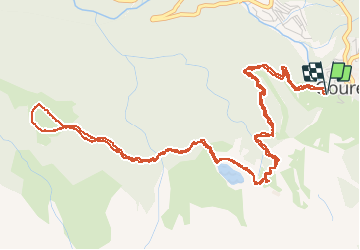


6.7 km | 12.3 km-effort

User


FREE GPS app for hiking
 SityTrail
IGN / Geographical institutes
SityTrail World
The world is yours!
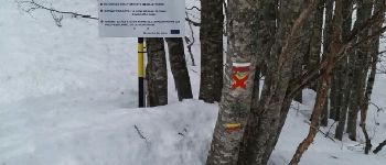
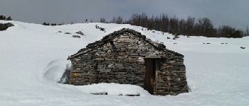
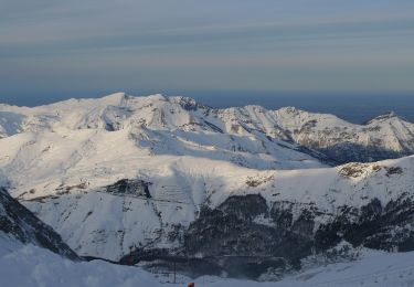
Trail Snowshoes of 8.7 km to be discovered at New Aquitaine, Pyrénées-Atlantiques, Eaux-Bonnes. This trail is proposed by PVERTICAL.
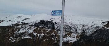
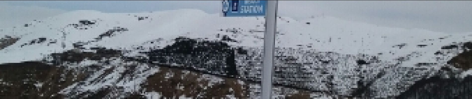
depuis la station de ski de Gourette - parking gratuit avant la station et prendre les télécabine (gratuit) pour le départ


On foot

Walking

On foot
On foot

On foot
On foot
Walking

Walking
Walking