


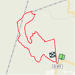

16.6 km | 25 km-effort


User


FREE GPS app for hiking
 SityTrail
IGN / Geographical institutes
SityTrail World
The world is yours!
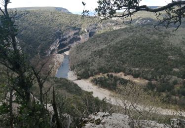
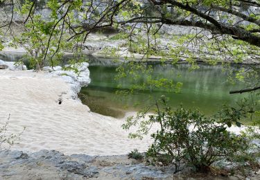
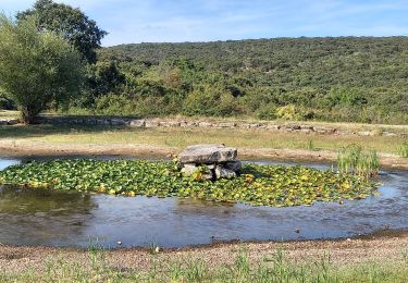
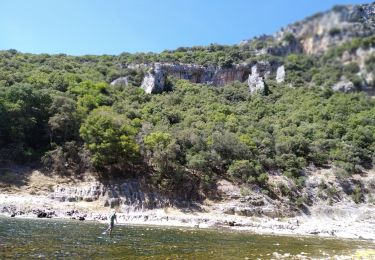
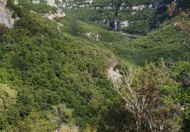
Trail Walking of 4.9 km to be discovered at Auvergne-Rhône-Alpes, Ardèche, Orgnac-l'Aven. This trail is proposed by dadodeca.
Aven , Dolmen circuit à faire l'été protéger des arbres.


Walking
Walking

Walking
Walking
Walking
On foot
Walking
On foot
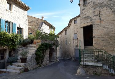
début du circuit GPS pas fidèle à la trace réel. circuit pour jours de fortes chaleurs ou jours de pluie.