


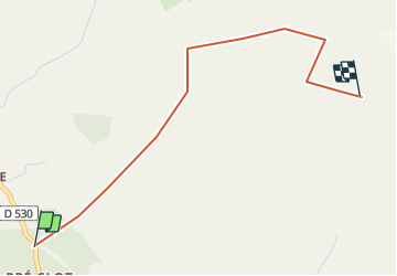

16 km | 31 km-effort


FREE GPS app for hiking
 SityTrail
IGN / Geographical institutes
SityTrail World
The world is yours!
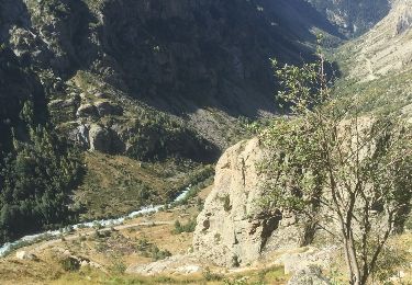
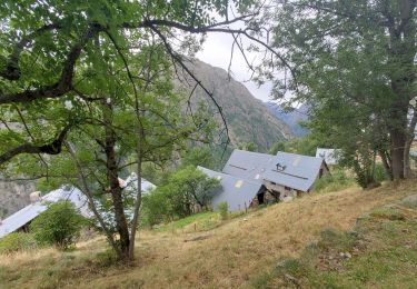
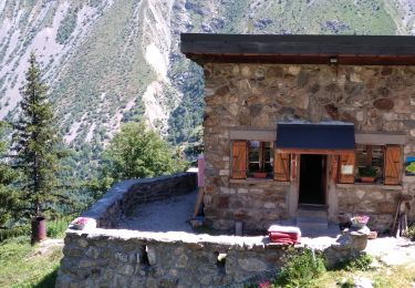
Trail Winter sports of 3.1 km to be discovered at Auvergne-Rhône-Alpes, Isère, Saint-Christophe-en-Oisans. This trail is proposed by yves.scandolera@laposte.net.
Walking
Walking
Walking
Walking

Walking

Walking

Walking
Walking
Walking