


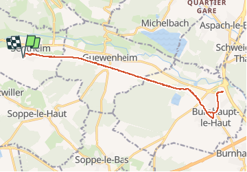

19,9 km | 34 km-effort

Gebruiker


Gratisgps-wandelapplicatie
 SityTrail
IGN / Geografische instituten
SityTrail World
De wereld gaat voor u open
Tocht Hybride fiets van 18,5 km beschikbaar op Grand Est, Haut-Rhin, Sentheim. Deze tocht wordt voorgesteld door helmut68.
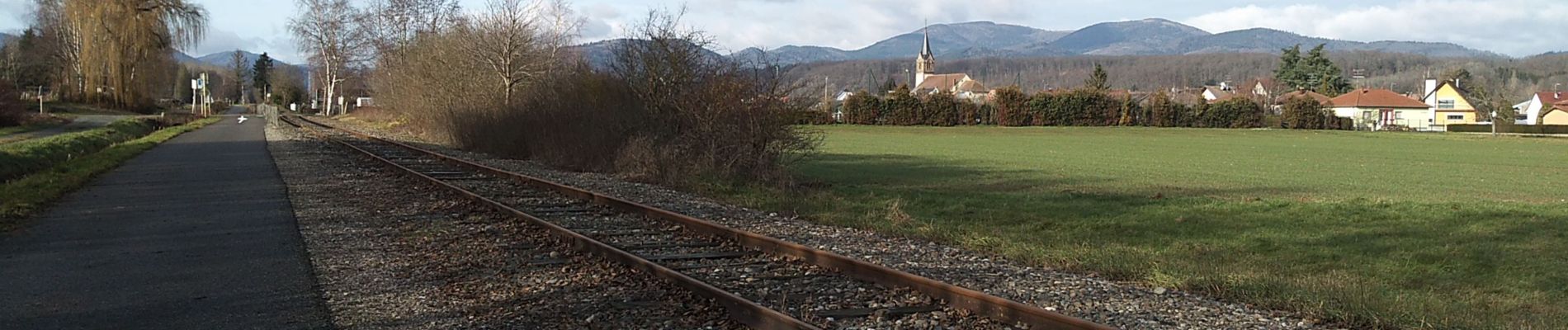
Faire ses petites courses en vélo c'est possible , agréable et écologique.
De Sentheim à Burnhaupt ou Masevaux nous disposons d'une belle piste cyclable alors profitons-en ...


Stappen

Stappen

Stappen

Te voet

Te voet

Stappen


Mountainbike
