


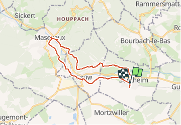

19,9 km | 34 km-effort

Gebruiker


Gratisgps-wandelapplicatie
 SityTrail
IGN / Geografische instituten
SityTrail World
De wereld gaat voor u open
Tocht Stappen van 14,3 km beschikbaar op Grand Est, Haut-Rhin, Sentheim. Deze tocht wordt voorgesteld door helmut68.
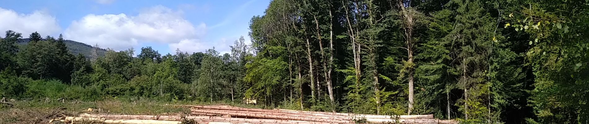
Boucle principalement en forêt pour faire le marché de Masevaux ( tous les mercredis matins ) à partir de Sentheim.
Alors à vos chaussures...N'oubliez pas le porte monnaie et le masque !


Stappen

Stappen

Stappen

Te voet

Te voet

Stappen


Mountainbike
