


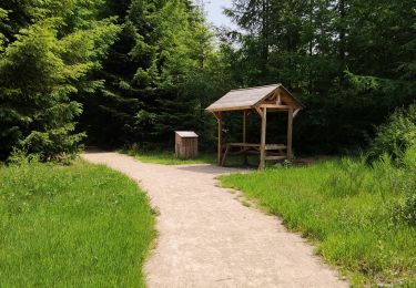
11,6 km | 15,6 km-effort

Randonnées du CGT GUIDE+


Gratisgps-wandelapplicatie
 SityTrail
IGN / Geografische instituten
SityTrail World
De wereld gaat voor u open
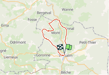
Tocht Mountainbike van 18,9 km beschikbaar op Wallonië, Luxemburg, Vielsalm. Deze tocht wordt voorgesteld door Commissariat général au Tourisme.
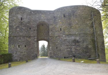
Trail created by Haute Ardenne.

Stappen
Stappen
Stappen
Stappen

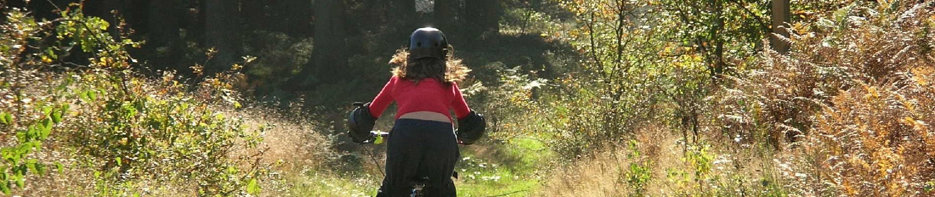
Mountainbike
Stappen
Stappen
Stappen
Stappen