


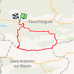

15.8 km | 28 km-effort

User


FREE GPS app for hiking
 SityTrail
IGN / Geographical institutes
SityTrail World
The world is yours!
Trail Walking of 15 km to be discovered at Provence-Alpes-Côte d'Azur, Bouches-du-Rhône, Vauvenargues. This trail is proposed by tracegps.
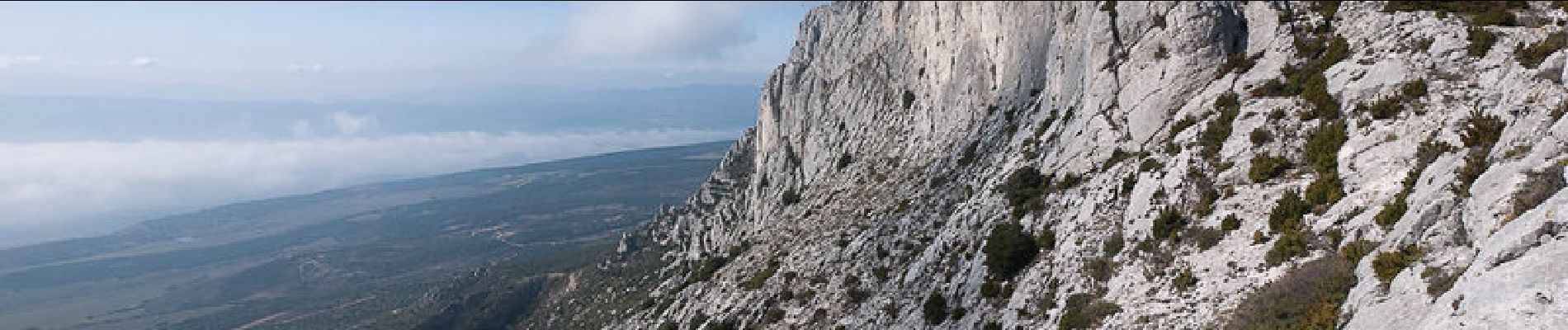
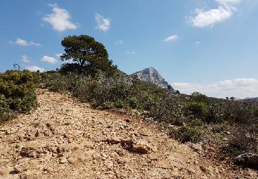
Pour reprendre la découverte de la Montagne Sainte-Victoire commencée il y a un an, parcourir une partie de la longue crête orientée d'Est en Ouest s'imposait lors d'un court séjour en Provence. La boucle tracée depuis le Parking des Venturiers, aménagé à proximité de Vauvenargues, va à la découverte du versant Nord de la montagne par deux sentiers très anciens : le Sentier des Plaideurs à l'aller, le Chemin des Venturiers au retour. Du Col de Suberoque, le parcours de crête traverse le Plan de Crau en passant par le Baù des Vespres, sommet de la montagne, le Signal de Sainte-Victoire, l'ouverture supérieure du Garagaï avant d'atteindre le pied de la Croix de Provence pour enfin descendre vers le Prieuré de Sainte-Victoire. La vue s'étend à l'ensemble des Alpes du Sud vers le Nord, et sur les collines littorales au Sud tout au long de l'itinéraire aérien. Description complète sur sentier-nature.com : Le Signal, Montagne Sainte-Victoire Avertissement [Franchissement 1/3 ; Orientation 1/3 ; Pénibilité 2/3].Certains passages de cet itinéraire de montagne sont escarpés et/ou très exposés, il est déconseillé aux enfants non accompagnés et aux personnes sujettes au vertige. Pour votre sécurité, nous vous invitons à respecter les règles suivantes : être bien chaussé, ne pas s'engager par mauvais temps, ne pas s'écarter de l'itinéraire ni des sentiers.


Walking

Walking

Walking

Walking

On foot

On foot

Walking

Walking
Walking
très belle randonnée.