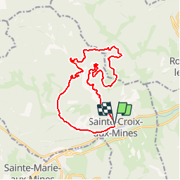

13.3 km | 19.1 km-effort

User


FREE GPS app for hiking
 SityTrail
IGN / Geographical institutes
SityTrail World
The world is yours!
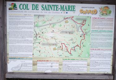
Trail Mountain bike of 15.1 km to be discovered at Grand Est, Haut-Rhin, Sainte-Croix-aux-Mines. This trail is proposed by tracegps.
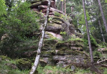
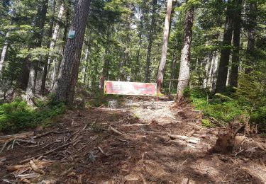
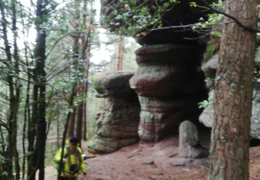
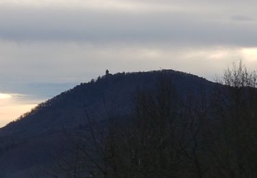
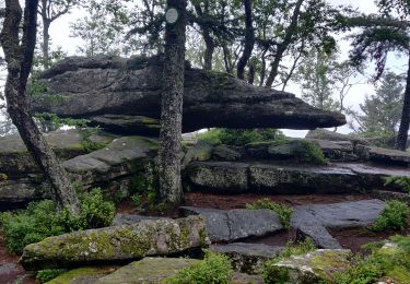
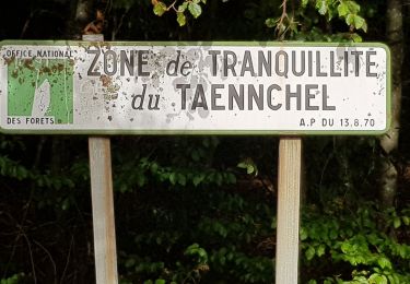
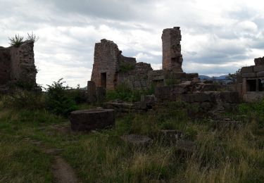
Paisible démarrage sur macadam vers la chapelle St Antoine. La première montée vers la ferme de Surpence est la plus raide, mais ne présente pas de difficultés techniques. Attention à la descente suivante jusqu'au Grand Rombach. Elle est instable par endroit et en lacet. Le reste du circuit est joliment vallonné avec de superbes points de vue tout le long. Le balisage est en bon état, excepté après la descente caillouteuse près de Grandmont. Au premier corps de ferme, il faudra prendre à droite un sentier en légère montée. D'autres infos ICI et LA

Walking
Walking
Walking
Walking
Walking
Walking
Walking
Walking