


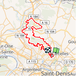

15.7 km | 17.8 km-effort


User


FREE GPS app for hiking
 SityTrail
IGN / Geographical institutes
SityTrail World
The world is yours!
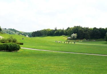
Trail Mountain bike of 77 km to be discovered at Ile-de-France, Val-d'Oise, Groslay. This trail is proposed by tracegps.
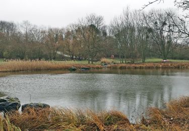
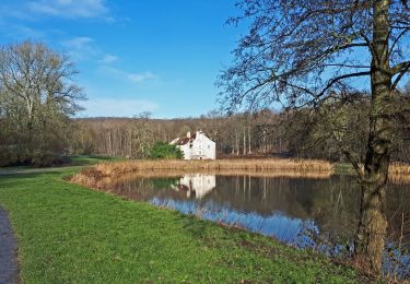
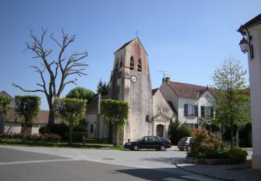
Les cinq premiers kilomètres du début du parcours sont urbain, avec alternance de petites rues et de plusieurs petites sentes entre les maisons et les jardins, des passages ludiques et bucoliques dont nous profitons au maximum puisque personne ne nous précède, on pouvait donc y rouler au train et s'amuser aux freinages...... La suite du récit et d'autres photos par ICI


Walking

Walking
Walking
Mountain bike

Mountain bike

Walking
Walking
Mountain bike

Running