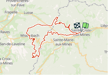

13.3 km | 19.1 km-effort

User


FREE GPS app for hiking
 SityTrail
IGN / Geographical institutes
SityTrail World
The world is yours!
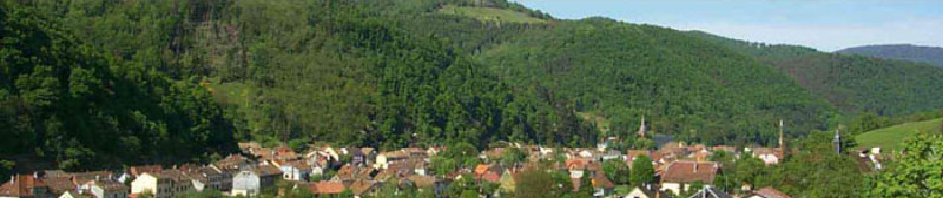
Trail Mountain bike of 39 km to be discovered at Grand Est, Haut-Rhin, Sainte-Croix-aux-Mines. This trail is proposed by tracegps.
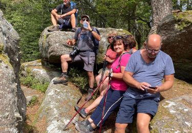
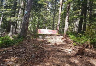
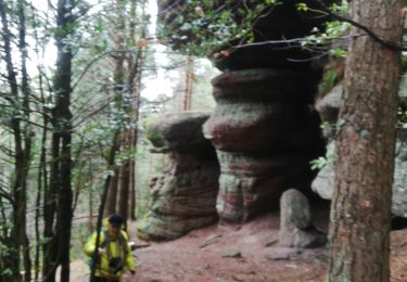
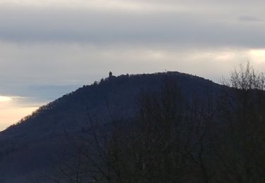
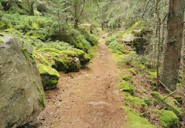
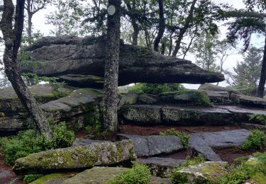
Petite incursion dans le département des Vosges au départ de Ste Croix aux Mines. Ce circuit vous fera atteindre le château d'Echery par une montée régulière, puis un sentier plat. Le dernier effort à fournir pour atteindre les ruines se fera sur un raidillon pas vraiment facile à négocier en VTT.... La suite et une carte détaillée sont disponibles ICI Source: Pierre

Walking
Walking
Walking
Walking
Walking
Walking
Walking
Walking