


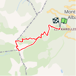

9.7 km | 14.5 km-effort

User


FREE GPS app for hiking
 SityTrail
IGN / Geographical institutes
SityTrail World
The world is yours!
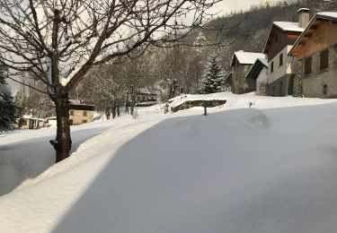
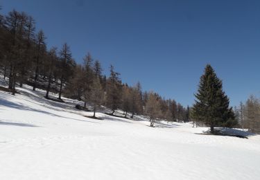
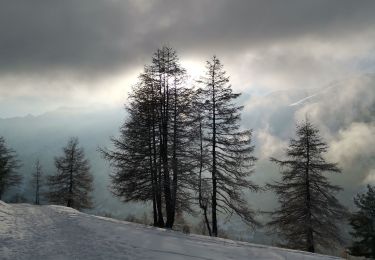
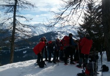
Trail Walking of 7.1 km to be discovered at Auvergne-Rhône-Alpes, Savoy, Montricher-Albanne. This trail is proposed by Gouze13.

Walking

Trail
Walking
Snowshoes
Walking
Snowshoes
Walking
Snowshoes
Walking
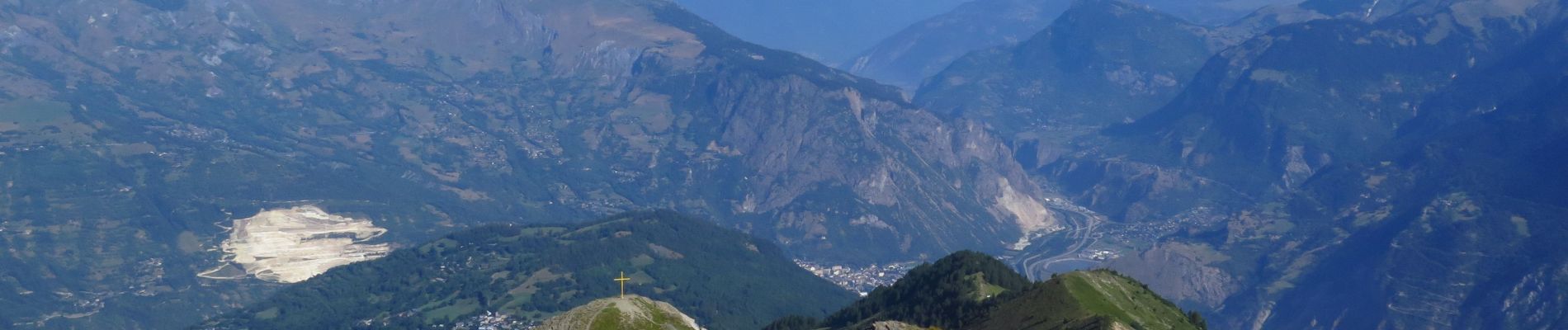
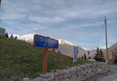
Super la montee Attention a la descente qui n'est pas tracée