


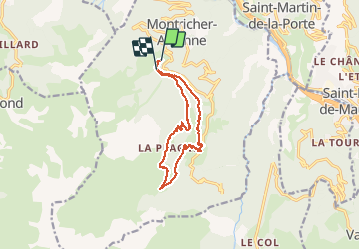

7.1 km | 17.7 km-effort


User


FREE GPS app for hiking
 SityTrail
IGN / Geographical institutes
SityTrail World
The world is yours!
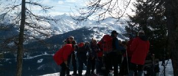
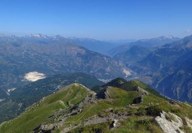
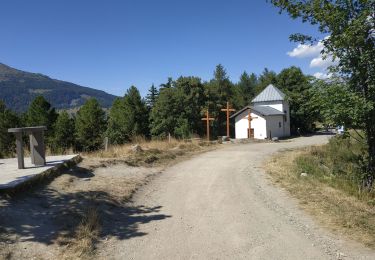
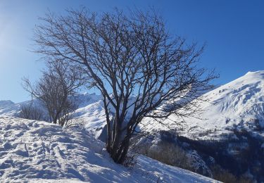
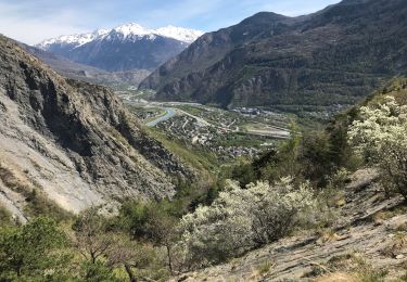
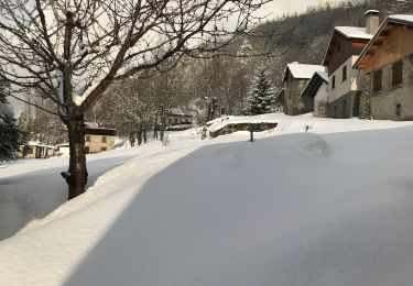
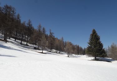
Trail Snowshoes of 13.6 km to be discovered at Auvergne-Rhône-Alpes, Savoy, Montricher-Albanne. This trail is proposed by albert39.
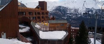
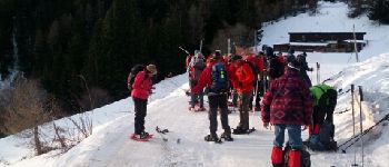
Stage raquettes FFRS, Module 2, du 05 au 10 janvier 2014. Brevet d'Animateur Fédéral. Odesia Vacances.


Walking
Walking

Trail
Walking

Walking
Walking
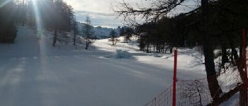
Snowshoes
Walking
Snowshoes