


7.1 km | 17.7 km-effort

User


FREE GPS app for hiking
 SityTrail
IGN / Geographical institutes
SityTrail World
The world is yours!
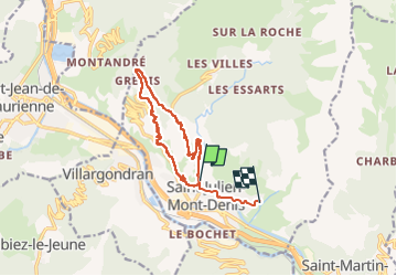
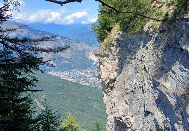
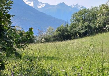
Trail Walking of 13.4 km to be discovered at Auvergne-Rhône-Alpes, Savoy, Saint-Julien-Mont-Denis. This trail is proposed by saint germain.
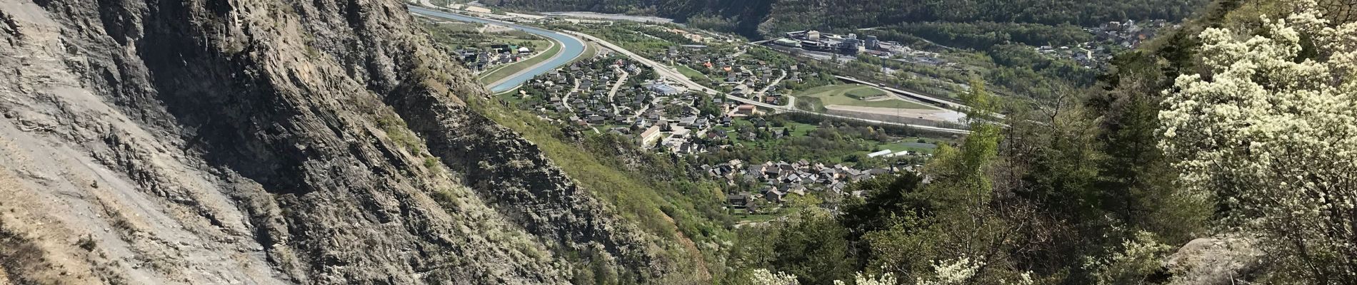
Attention passage délicat - main courante-
Chemin étroit avec vue sur le vide
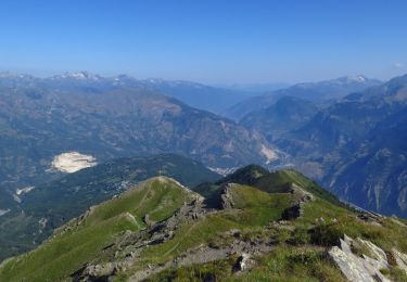
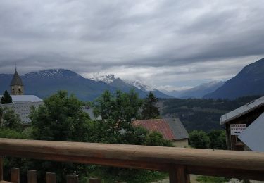
Retour par Grenis - trésorerie long


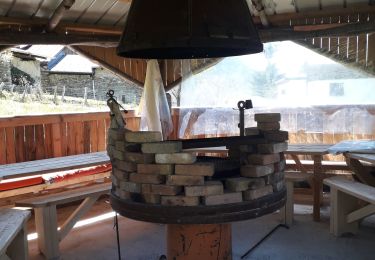
32 photos in total. Please click on a photo to see them all in the gallery.
Walking

Trail
Snowshoes
Walking

Walking
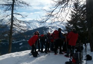
Snowshoes
Walking
Walking
Walking
Merci pour ce partage.