


8.8 km | 12.9 km-effort


User


FREE GPS app for hiking
 SityTrail
IGN / Geographical institutes
SityTrail World
The world is yours!
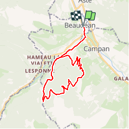
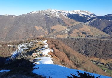
Trail Mountain bike of 16.8 km to be discovered at Occitania, Hautespyrenees, Beaudéan. This trail is proposed by tracegps.
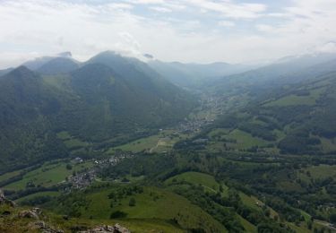
Haute Bigorre Circuit labellisé par la Fédération Française de Cyclisme. Curiosités :Artigues, à l’origine défrichées pour utiliser les terrains en zone de pacage. Maintenant., certaines landes sont transformées en plantation de l’ONF et se revégétalisent naturellement. Téléchargez le descriptif et le plan.

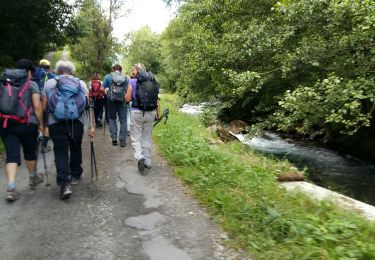
Walking

Walking
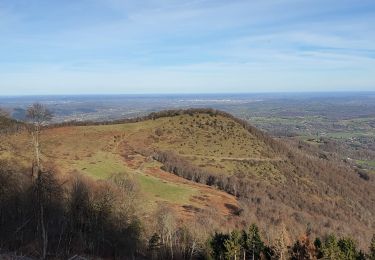
Walking

Road bike
Mountain bike
Walking
Walking
Walking

Snowshoes