


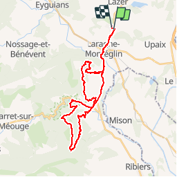

35 km | 47 km-effort


User


FREE GPS app for hiking
 SityTrail
IGN / Geographical institutes
SityTrail World
The world is yours!
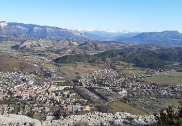
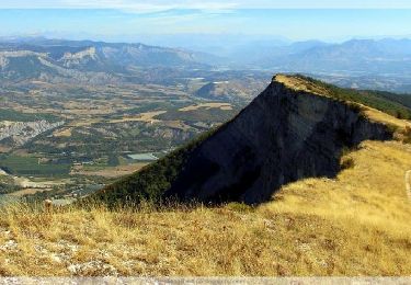
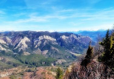
Trail Mountain bike of 35 km to be discovered at Provence-Alpes-Côte d'Azur, Hautes-Alpes, Lazer. This trail is proposed by tracegps.
Une rando avec deux montées type "punition" puis la descente de Saint Cyr une vingtaine de minutes de bonheur. Attention aux feuilles et aux gelées l'hiver.

Mountain bike

Walking

sport
Walking
Walking
Walking
Walking
Walking
Walking