


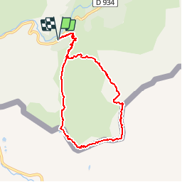


10.6 km | 19.3 km-effort


User


FREE GPS app for hiking
 SityTrail
IGN / Geographical institutes
SityTrail World
The world is yours!
Trail Walking of 8.5 km to be discovered at New Aquitaine, Pyrénées-Atlantiques, Laruns. This trail is proposed by tracegps.
Belle boucle par le col de Peyrelue d'où l'on tire à gauche en direction du Pic de Peyrelue (2441 m) que l'on atteint après un final un peu raide.

Walking

Walking
Walking
On foot
Walking

Walking

Walking

Walking
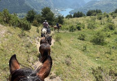
Horseback riding