


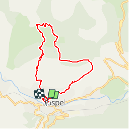

13.7 km | 26 km-effort

User


FREE GPS app for hiking
 SityTrail
IGN / Geographical institutes
SityTrail World
The world is yours!
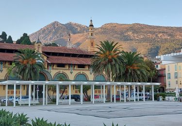
Trail Mountain bike of 7.8 km to be discovered at Provence-Alpes-Côte d'Azur, Maritime Alps, Sospel. This trail is proposed by tracegps.
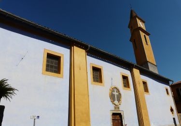
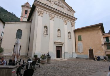
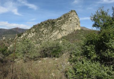
Espace VTT FFC Sospel Circuit labellisé par la Fédération Française de Cyclisme. La boucle classique du VTT à Sospel, idéale pour tester sa forme. Descente au milieu des pins et des oliviers. Sortir du parking de la poste, tourner à droite en direction des écoles. Montée très raide jusqu’au lacet. Ici, quitter la route pour prendre le sentier à gauche GR52. Montée technique jusqu’à la route communale. Là, continuer tout droit et reprendre un peu plus loin (200 m) le GR52 sur la droite, jusqu’à la baisse de Figuiera. Ensuite, prendre le sentier qui descend à flanc de colline à gauche. A la ruine, prendre le sentier à droite qui remonte jusqu’à la baisse de l’Agaisen (quelques poussettes). A 50 m à gauche, la bifurcation en « Y », prendre la branche à droite qui contourne le mont Agaisen par le haut. On rejoint la route, prendre l’escalier en pierre à gauche un peu plus bas. Le chemin arrive sur une route goudronnée, prendre à droite direction Sospel.

On foot
On foot
On foot

Walking
Walking
Walking

Walking
Walking
Walking