


7.8 km | 13.4 km-effort

User


FREE GPS app for hiking
 SityTrail
IGN / Geographical institutes
SityTrail World
The world is yours!
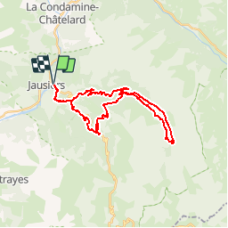
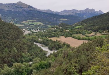
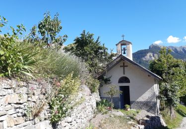
Trail Mountain bike of 31 km to be discovered at Provence-Alpes-Côte d'Azur, Alpes-de-Haute-Provence, Jausiers. This trail is proposed by tracegps.
Espace VTT FFC Vallée de l’Ubaye Circuit officiel labellisé par la Fédération Française de Cyclisme. La Vallée de l'Ubaye vous propose plus de 300 Km d'itinéraires balisés et labellisés. De la promenade en famille ou entre amis, jusqu'au raid de plusieurs jours, découvrez tous ces itinéraires en téléchargeant le Plan général des circuits.

Walking

Walking
Walking
Walking
Walking
Walking
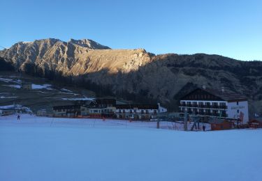
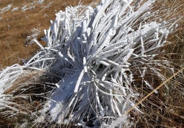
Snowshoes
Walking
Walking
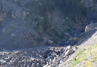
super sortie, super vue, super dur