

La Coulée Verte à Angoulème

tracegps
User

Length
21 km

Max alt
73 m

Uphill gradient
248 m

Km-Effort
25 km

Min alt
23 m

Downhill gradient
239 m
Boucle
Yes
Creation date :
2014-12-10 00:00:00.0
Updated on :
2014-12-10 00:00:00.0
1h00
Difficulty : Easy

FREE GPS app for hiking
About
Trail Mountain bike of 21 km to be discovered at New Aquitaine, Charente, Angoulême. This trail is proposed by tracegps.
Description
La coulée verte est un ancien chemin de halage. Elle longe le fleuve Charente à travers Angoulème sur près de 20 km. Téléchargez le plan de la Coulée Verte.
Positioning
Country:
France
Region :
New Aquitaine
Department/Province :
Charente
Municipality :
Angoulême
Location:
Unknown
Start:(Dec)
Start:(UTM)
278863 ; 5059222 (31T) N.
Comments
Trails nearby

La Coulée Verte à Angoulème


Walking
Medium
(1)
Angoulême,
New Aquitaine,
Charente,
France

21 km | 25 km-effort
3h 0min
Yes
La rando d'Angoulême entre ville et campagne


Walking
Medium
Angoulême,
New Aquitaine,
Charente,
France

8.1 km | 9.9 km-effort
2h 59min
Yes
La balade de L'Oisellerie à La couronne


Walking
Very easy
La Couronne,
New Aquitaine,
Charente,
France

7 km | 8 km-effort
2h 15min
Yes
Puymoyen vallée des eaux claires par centre équestre élevage de cerfs


Walking
Easy
(1)
Puymoyen,
New Aquitaine,
Charente,
France

10.2 km | 13.1 km-effort
2h 29min
Yes

La découverte d'Angoulême en partant du parc de Fregneuil


Walking
Easy
Angoulême,
New Aquitaine,
Charente,
France

8.9 km | 10.5 km-effort
2h 58min
Yes
Les écluses de Fléac et Linars


Walking
Very easy
Fléac,
New Aquitaine,
Charente,
France

10.1 km | 11.4 km-effort
2h 30min
Yes

ff


Other activity
Very easy
(2)
Soyaux,
New Aquitaine,
Charente,
France

12.9 km | 15.5 km-effort
2h 36min
Yes
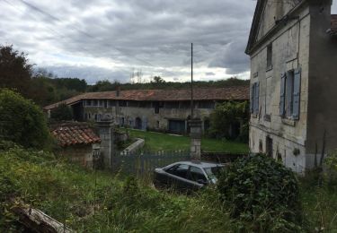
Puymoyen, vallée des eaux-claires


Walking
Easy
(1)
Puymoyen,
New Aquitaine,
Charente,
France

9.6 km | 11.9 km-effort
2h 50min
Yes
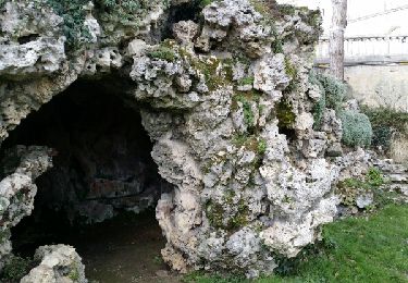
De saint Cybard à Fléac


Walking
Very easy
Angoulême,
New Aquitaine,
Charente,
France

11.4 km | 13.5 km-effort
2h 55min
No


 SityTrail


