


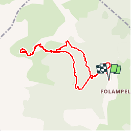

15.4 km | 31 km-effort

User


FREE GPS app for hiking
 SityTrail
IGN / Geographical institutes
SityTrail World
The world is yours!
Trail Walking of 10.6 km to be discovered at Provence-Alpes-Côte d'Azur, Hautes-Alpes, Embrun. This trail is proposed by gildascb.
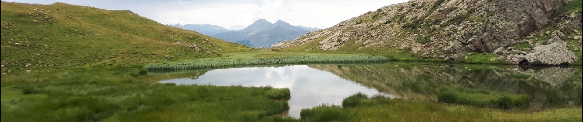
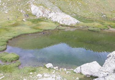
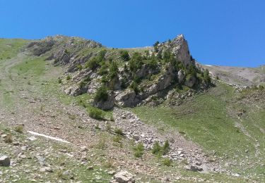
Un joli petit lac dans un écrin de verdure au dessus d'Embrun et au pied de la Tête de l'Hivernet (2824m).
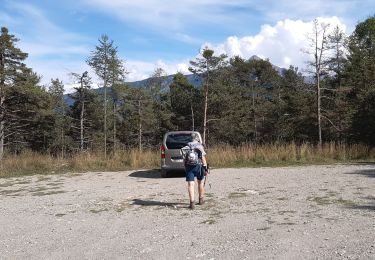
Parking au bout de la route venant de Caléyère. Aucun problème d'accès (route jusqu'au parking).


Walking

Walking
Walking
Walking
Walking
Walking
Walking
Walking
Walking
Bonne base de travail