Trail Mountain bike Créon - De Créon à Saint Genès de Lombaud - Photo

De Créon à Saint Genès de Lombaud

 tracegps
tracegps

User

© OpenStreetMap contributors
Length
Length
24 km
Max alt
Max alt
106 m
Uphill gradient
Uphill gradient
284 m
Km-Effort
Km-Effort  
28 km
Min alt
Min alt
44 m
Downhill gradient
Downhill gradient
283 m
Boucle
Boucle
Yes
Creation date :
2014-12-10 00:00:00.0
Updated on :
2014-12-10 00:00:00.0

(0 Reviews)

Mountain bike
Mountain bike
2h30
Difficulty : Difficult

Scan this QR Code to open this trail in the SityTrail application

FREE GPS app for hiking

Logo SityTrail SityTrail

IGN / Geographical institutes

Download SityTrail from the App Store Download SityTrail from Google Play

Logo SityTrail SityTrail World

The world is yours!

Download SityTrail from the App Store Download SityTrail from Google Play Download SityTrail on Huawei AppGallery

About

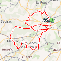
Trail Mountain bike of 24 km to be discovered at New Aquitaine, Gironde, Créon. This trail is proposed by tracegps.

Description

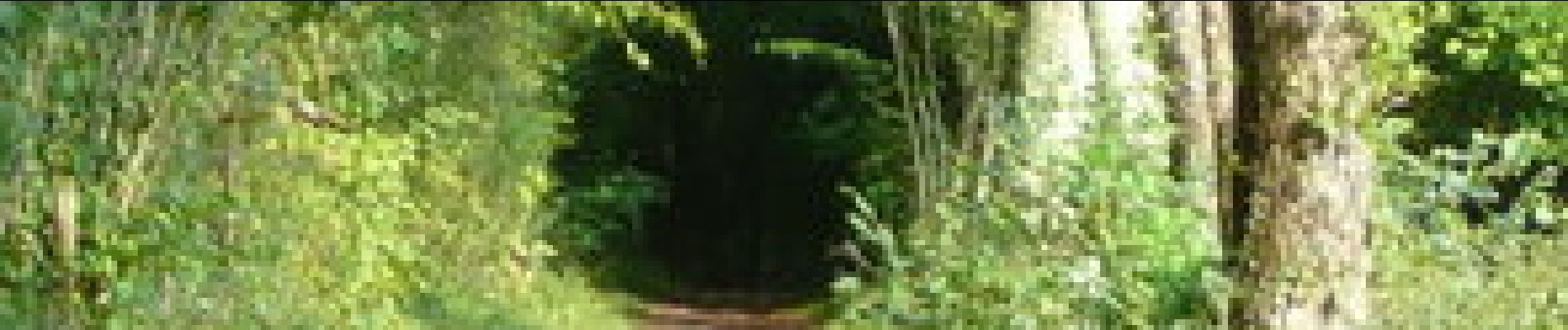
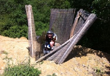
De Créon à Saint Genès de Lombaud. ntérêt : bastide de Créon, paysages de l'Entre-deux-Mers (forêts et vignobles). Outre un dénivelé important (bonnes côtes), le parcours est parfois technique en raison des ornières (surtout par temps de pluie). Retrouvez d’autres photos et la description complète sur Ciron VTT, des circuits de randonnées VTT et traces GPS dans la vallée du Ciron (Gironde, Landes) et au-delà …

Elevation profile

Photos

Positioning

Country:
France
Region :
New Aquitaine
Department/Province :
Gironde
Municipality :
Créon
Location:
Unknown
Start:(UTM)
709727 ; 4961515 (30T) N.

Trails nearby

Trail Other activity Sadirac - S 4 - Photo
Other activity
Christophe Jannoray

Other activity

Sadirac, New Aquitaine, Gironde, France
2.7 km | 3.1 km-effort
35min
No
Trail Mountain bike Haux - 33-haux-20120527 - Photo
Mountain bike
Gus64

Mountain bike

Difficult
Haux, New Aquitaine, Gironde, France
32 km | 41 km-effort
3h 0min
Yes
Trail Walking La Sauve - sauvé  Majeure 10 km - Photo
Walking
rigo33

Walking

Very easy
(1)
La Sauve, New Aquitaine, Gironde, France
9.8 km | 11.5 km-effort
2h 35min
No
Trail Walking Haux - haux - Photo
Walking
gerardbarreau

Walking

Very easy
Haux, New Aquitaine, Gironde, France
11.8 km | 15.3 km-effort
4h 1min
Yes
Trail Walking Sadirac - Sadirac - Photo
Walking
jara

Walking

Very easy
Sadirac, New Aquitaine, Gironde, France
12 km | 14.6 km-effort
2h 50min
Yes
Trail Other activity Créon - rando creon Fred  - Photo
Other activity
manchado

Other activity

Difficult
Créon, New Aquitaine, Gironde, France
43 km | 52 km-effort
5h 8min
Yes
Trail Cycle Sadirac - Sadirac - Sauveterre - Photo
Cycle
eric.mignot

Cycle

Medium
Sadirac, New Aquitaine, Gironde, France
78 km | 91 km-effort
5h 6min
Yes
Trail Other activity Targon - depot cui cui - Photo
Other activity
herve747

Other activity

Very easy
Targon, New Aquitaine, Gironde, France
4.3 km | 5.2 km-effort
1h 29min
Yes
Trail Other activity Targon - depot cui cui - Photo
Other activity
herve747

Other activity

Very easy
Targon, New Aquitaine, Gironde, France
4.3 km | 5.2 km-effort
1h 29min
Yes


Close
My subscriptions