


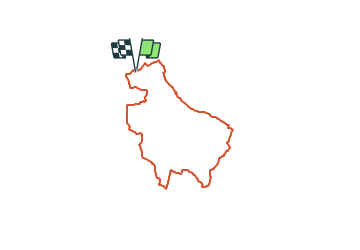

27 km | 35 km-effort


User


FREE GPS app for hiking
 SityTrail
IGN / Geographical institutes
SityTrail World
The world is yours!
Trail Mountain bike of 27 km to be discovered at New Aquitaine, Lot-et-Garonne, Dolmayrac. This trail is proposed by tracegps.
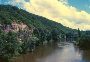
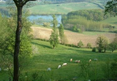
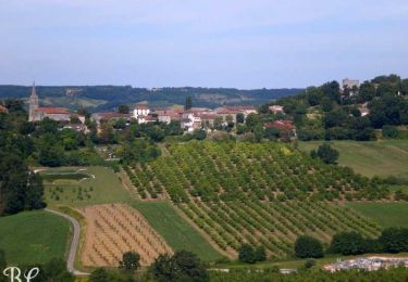
Une journée de randonnée, dans les vallées de la Masse et de la Bausse, sur un circuit qui offre de nombreuses vues sur les villages dominant la vallée du Lot et les coteaux du Pays de Serres. 220 autres circuits de 1,7 à 32 km sont disponibles ICI avec cartes et données GPS.


Walking
Walking
Cycle
Cycle

Mountain bike
Walking

Equestrian

Mountain bike
Walking