


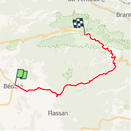

18.8 km | 25 km-effort

User


FREE GPS app for hiking
 SityTrail
IGN / Geographical institutes
SityTrail World
The world is yours!
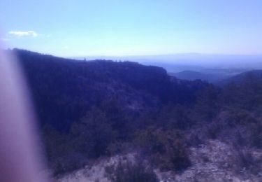
Trail Cycle of 21 km to be discovered at Provence-Alpes-Côte d'Azur, Vaucluse, Bédoin. This trail is proposed by tracegps.
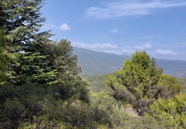
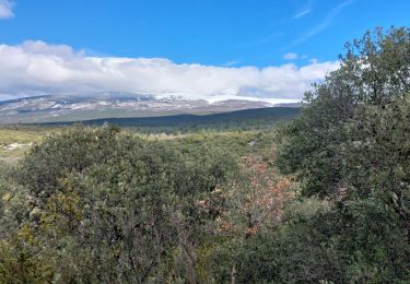
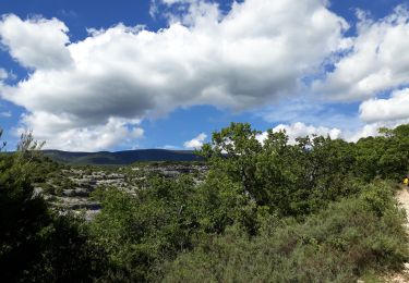
La montée par Bédoin est la montée classique du Ventoux. Il parait que c'est la plus difficile. C'est surement la plus belle. On garde presque tout le long de l'ascension la vue sur le mont chauve. Ça motive !

Walking

Walking
Walking
Walking
Walking
Walking
Walking

Walking
Walking
A different way to get there